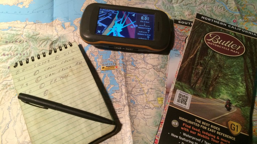
This is the Garmin section of the Six-Zero-Three.com website. This is where Garmin related topics will live, and be linked to each other. As I write this in 2017 there is talk that dedicated GPS units being a dying tool for navigation, this talk has been going on for years. Personally I doubt that, professional grade tools always seem to keep their relevance.
About Me
I’m routed in paper maps, I’m of the pre-internet era. The US Marines saw that I learned how to navigate with a paper map, compass, observing terrain features, and counting steps. This was a skill I quickly took to, and easily mastered. Using early internet navigation software (such as Mapquest) and even the current Google maps platform normally leads me to creating better notes transcribed my hand. I have used Garmin Basecamp (as well as Garmin’s earlier Mapsource software) and Garmin GPS units both professionally and for recreational use since 2007. I can comfortably say I have a good working knowledge of using paper maps, Garmin software, and Garmin GPS units. Calling myself an expert I feel might be a step too far, but I can impart a working knowledge of all of the above.
My Thoughts on Navigation Aids
In my personal opinion paper maps, electric maps, compasses, hand-written notes, and GPS technology all work hand in hand. Used together you have the best set of tools for the job of route planning and navigating. Alone each component is not as fast or robust as the combination of them. I normally have a paper map on my desk or tacked to the wall when planning a trip on the computer in Garmin Basecamp. Unless you have a huge computer screen it is hard to beat a 36” square map covering hundreds (if not thousands) of miles. The computer does allow you to zoom in and access satellite imagery, but doing so normally at the cost of seeing the bigger picture. On the road or trail a paper map is also there, to augment the GPS when getting the bigger picture. A GPS unit provides an unmatched realtime view of current location. Unless you have ninja-like dead-reckoning skills it simplify can’t be beat. The relatively small screen (4″ in the case of my Garmin Montana) makes a detailed big picture imposable. A GPS unit used in conjunction with a paper map for finding your rough location in a state or county is easy. Just keep these ideas in mind as you read on. I’ll likely refer back to using maps, or quickly transition from paper maps to a GPS unit. Understanding how to read maps is a good foundation to using GPS, and neither tool is a magic cure to your navigation woes.
Summary of this Guide
This isn’t the end-all complete guide to everything Garmin Basecamp and Garmin GPS units can do. This is a guide based on how I use them. It will detail the tools and functions I have found to be important and useful for navigation, trip planning, and event planning for motorcycles in the adventure, dual-sport, and off-road realm. My personal use of GPS technology spills over into, automotive, hiking, and bicycle applications, likely those uses will be touched upon as well. Takeaway what you can from here, ask questions and explore further if you are not finding the answers you seek.
-Eric Archambault
Sections
How to load tracks for your next adventure
Terms and Vocabulary for Navigation – Part One
Terms and Vocabulary for Navigation – Part Two
Navigating with Tracks – Tips & Tricks


